How to use this page
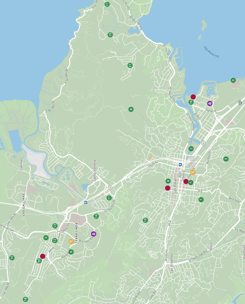
Start here for the citywide geography, then use page 47 for the park amenities list and the keyed site names.
The original map remains visible, but this version adds orientation text so the page is useful without depending only on a single unlabeled image region.
The map covers major San Rafael areas including Terra Linda, Las Gallinas, Santa Venetia, downtown San Rafael, and the southern neighborhoods.
Start here for the citywide geography, then use page 47 for the park amenities list and the keyed site names.
Park picnic areas are available for rent. For details, call (415) 485-3333 or visit cityofsanrafael.org/parks.