NATIONAL FLOOD INSURANCE PROGRAM
WASATCH-UINTAH BASIN
DAGGETT, DUCHESNE, SUMMIT, UINTAH, AND WASATCH COUNTIES, UTAH
RISK MAP PROJECT
DISCOVERY WORK MAP
DRAFT
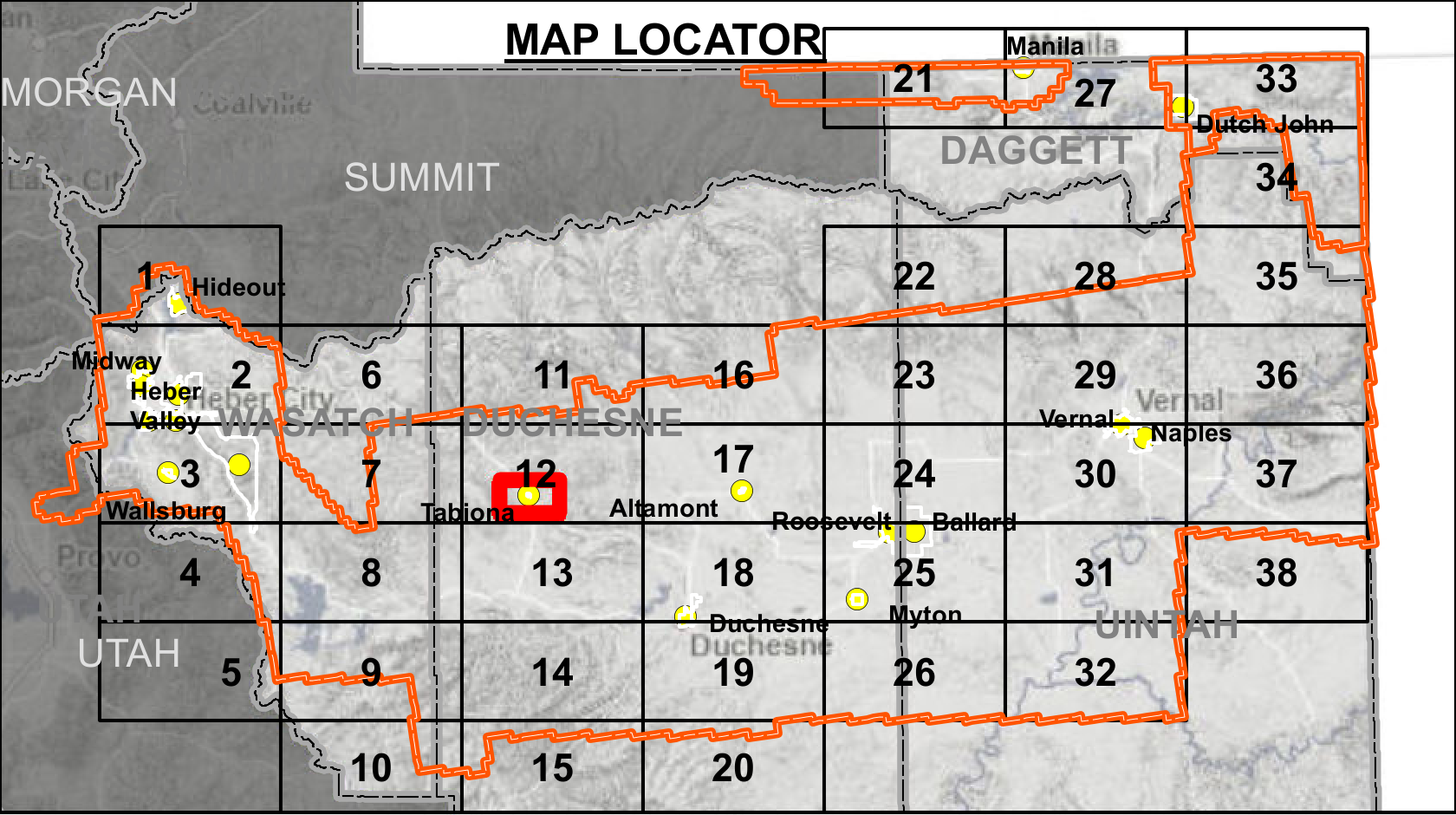
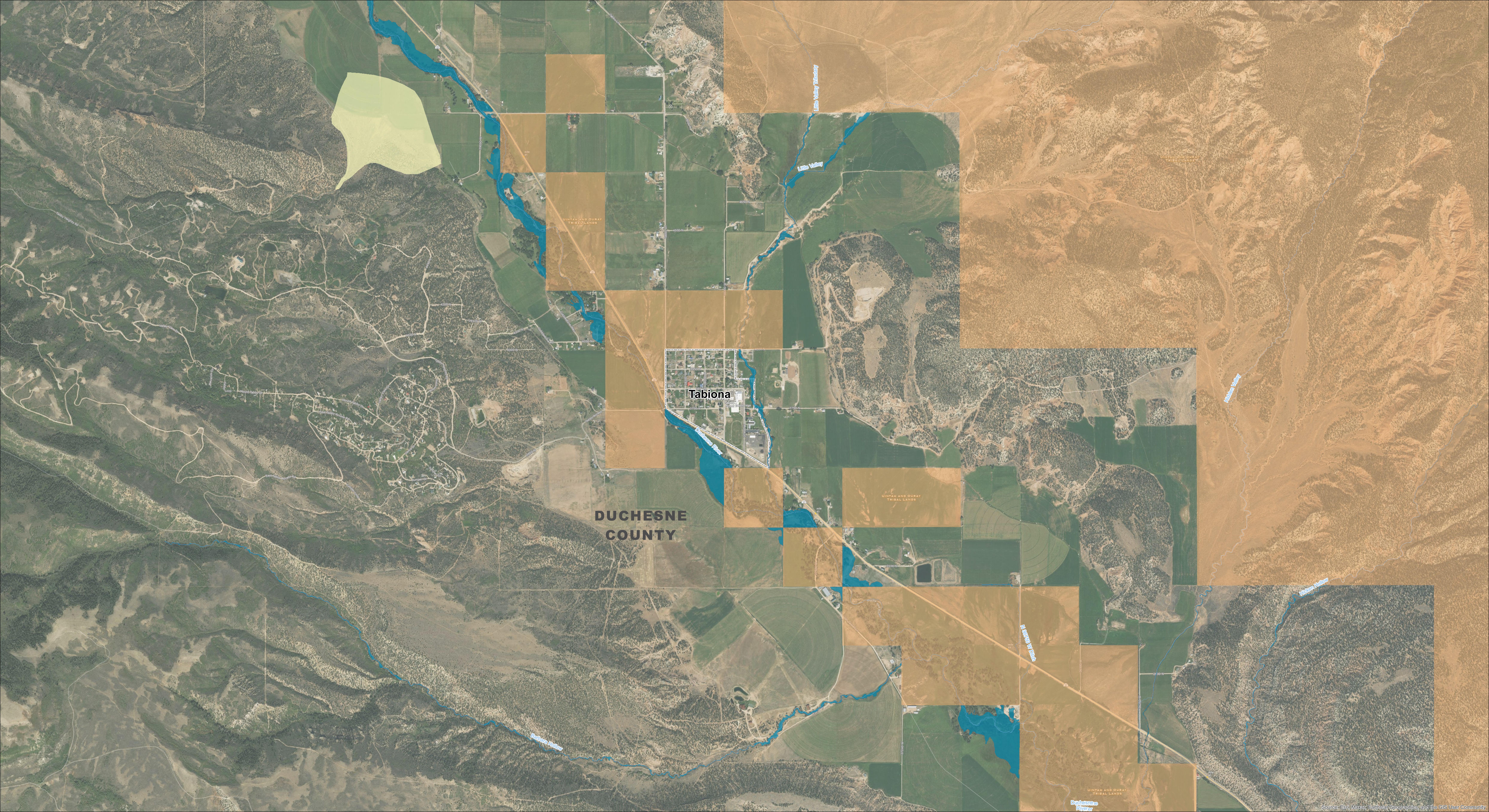
Map 47 - Town of Tabiona
Draft Zone A Base Level Engineering (BLE) Results
Utah Division of Emergency Management
RELEASE DATE: 07/06/2022



MAP SYMBOLOGY
Stream Gauges
Letters of Map Amendment (LOMA)
Study Streams*
LiDAR Acquisition Area (2018)/ Project Area
Draft BLE Zone A**
Draft Alluvial Fan
Municipalities
Counties
Tribal Land**
Effective NFIP Floodplains
Effective Zone AE (1%-annual-chance flood)
Effective Zone A (1%-annual-chance flood)
Effective Floodway (1%-annual-chance flood)
Effective Zone AO (1%-annual-chance flood)
Effective 0.2%-annual-chance flood
NOTES TO USERS
* Streams with a drainage area greater than 1 square mile
** Draft 2022 hydraulic analysis using new LiDAR topography (no ground survey conducted, Tribal Lands excluded).
All base information on this map sourced from public data, including the Utah Geospatial Resource Center (UGRC), FEMA, ESRI, and USGS.
Note: This map is not an official Flood Insurance Rate Map and the data presented on this map is for draft information only, to be used as best available data where applicable.
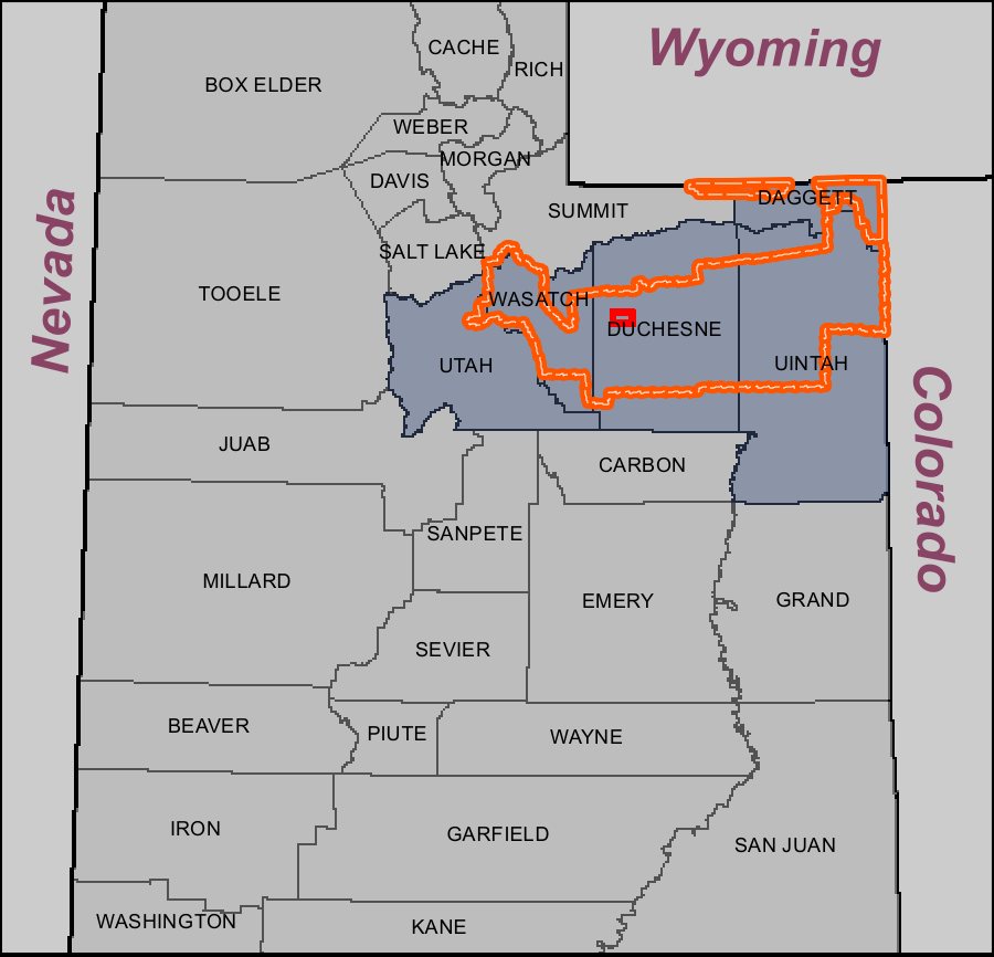
STUDY LOCATOR
MAP LOCATOR