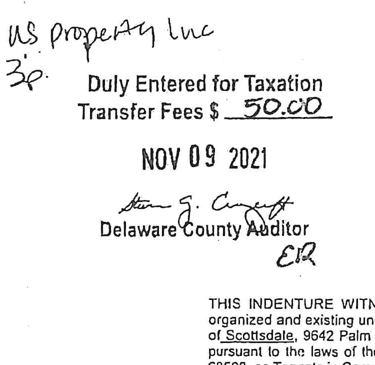
THIS INDENTURE WITNESSETH, That Fortis Ventures International, LLC a limited liability company organized and existing under and pursuant to the laws of the State of Arizona with its principal office in the City of Scottsdale, 9642 Palm Ridge, 85260, and GP North, LLC, a limited liability company organized and existing pursuant to the laws of the State of Nebraska with its principal office in the City of Lincoln, 129 N 10th Street, 68508, as Tenants in Common.
Conveys and Warrants to
Monte L. Froehlich, an individual
of Lancaster County, in the State of Nebraska, for and in consideration of the sum of One Dollar ($1.00) and other valuable consideration, the receipt whereof is hereby acknowledged the following described Real Estate in Delaware County, in the State of Indiana, to-wit:
A part of the Fractional Southwest Quarter and a part of the Southeast Quarter of Section 30, Township 20 North, Range 11 East in Liberty Township, also a part of the Fractional Northwest Quarter, the Northeast Quarter and a part of the Southeast Quarter of Section 31, Township 20 North, Range 11 East in Perry Township, all in Delaware County, Indiana, described as follows:
Beginning at a 5/8 inch rebar on the West line of the Fractional Northwest Quarter of Section 31, Township 20 North, Range 11 East, said rebar being South 00 degrees 37 minutes 03 seconds East 378.18 feet (assumed bearing) from a stone marking the Northwest corner of said Quarter Section; thence North 89 degrees 57 minutes 32 seconds East 1184.75 feet parallel with the North line of said Quarter Section to a 5/8 inch rebar on the East line of the Fractional West Half of said Northwest Quarter; thence North 00 degrees 52 minutes 29 seconds West 408.18 feet to a 5/8 inch rebar along said East line extended North into the Southwest Quarter of Section 30, Township 20 North, Range 11 East; thence North 89 degrees 57 minutes 32 seconds East 1325.96 feet to a 5/8 inch rebar on the West line of the Southeast Quarter of said Section 30; thence North 89 degrees 36 minutes 10 seconds East 296.30 feet parallel with the South line of said Southeast Quarter to a 5/8 inch rebar; thence North 20 degrees 08 minutes 32 seconds East 21.36 feet to a 5/8 inch rebar that is 1698.87 feet west of the East line of the West Half of the East Half of said Southeast Quarter; thence North 01 degree 42 minutes 24 seconds West 1387.45 feet parallel with said East line to a point on the Southerly line of Inlow Springs Road; thence South 80 degrees 56 minutes 47 seconds East 30.57 feet along said Southerly line to a point; thence South 01 degree 42 minutes 24 seconds East 1432.43 feet to a 5/8 inch rebar on the North line of the Northeast Quarter of Section 31, Township 20 North, Range 11 East; thence North 89 degrees 36 minutes 10 seconds East 608.20 feet along said North line to a 5/8 inch rebar that is 1728.44 feet west of the Northeast corner of said Northeast Quarter; thence South 00 degrees 30 minutes 18 seconds East 2682.17 feet parallel with the East line of said Northeast Quarter to a nail on the centerline of the Burlington Pike; thence North 62 degrees 22 minutes 53 seconds West 88.28 feet along said centerline; thence North 76 degrees 07 minutes 46 seconds West 114.86 feet along said centerline to a nail on the South line of the Northeast Quarter of said Section 31; thence South 89 degrees 53 minutes 14 seconds West 640.19 feet along the South line to a nail that is 1422.75 feet east of the Southwest corner of the East Half of the Fractional Northwest Quarter of said Section 31; thence North 00 degrees 52 minutes 29 seconds West 300.00 feet parallel with the West line of said Half-Quarter Section to a 5/8 inch rebar; thence South 89 degrees 24 minutes 22 seconds West 550.00 feet to a 5/8 inch rebar; thence North 00 degrees 52 minutes 28 seconds West 162.00 feet to a 5/8 inch rebar; thence North 73 degrees 42 minutes 23 seconds West 282.58 feet to an angle iron post that is 545.00 feet north of the South line of said Northwest Quarter; thence North 00 degrees 52 minutes 29 seconds West 731.52 feet to the center of White River; thence South 45 degrees 14 minutes 44 seconds West 262.57 feet along the center of the river; thence North 00 degrees 52 minutes 29 seconds West 225.41 feet to a 5/8 inch rebar that is on a line, said line being parallel with and 1299.77 feet south of the North line of said Northwest Quarter; thence South 89 degrees 57 minutes 32 seconds West 1602.32 feet along said line to a half inch rebar on the West line of said Quarter Section; thence North 00 degrees 37 minutes 03 seconds West 921.59 feet to the point of beginning, containing 2.14 acres in Section 30 and 135.99 acres in Section 31.
Grantors states that there is no Indiana Gross Income Tax due or payable at this time as a result of this sale.
The undersigned persons executing this Deed represent and certify on behalf of the Grantors that the undersigned are duly appointed officers of the Grantors and have been fully empowered by proper resolution to execute and deliver this Deed; that the Grantors are corporations in good standing in the State of its origin; that the Grantors have full capacity to convey the real estate described; and that all necessary action for the making of this conveyance has been duly taken.