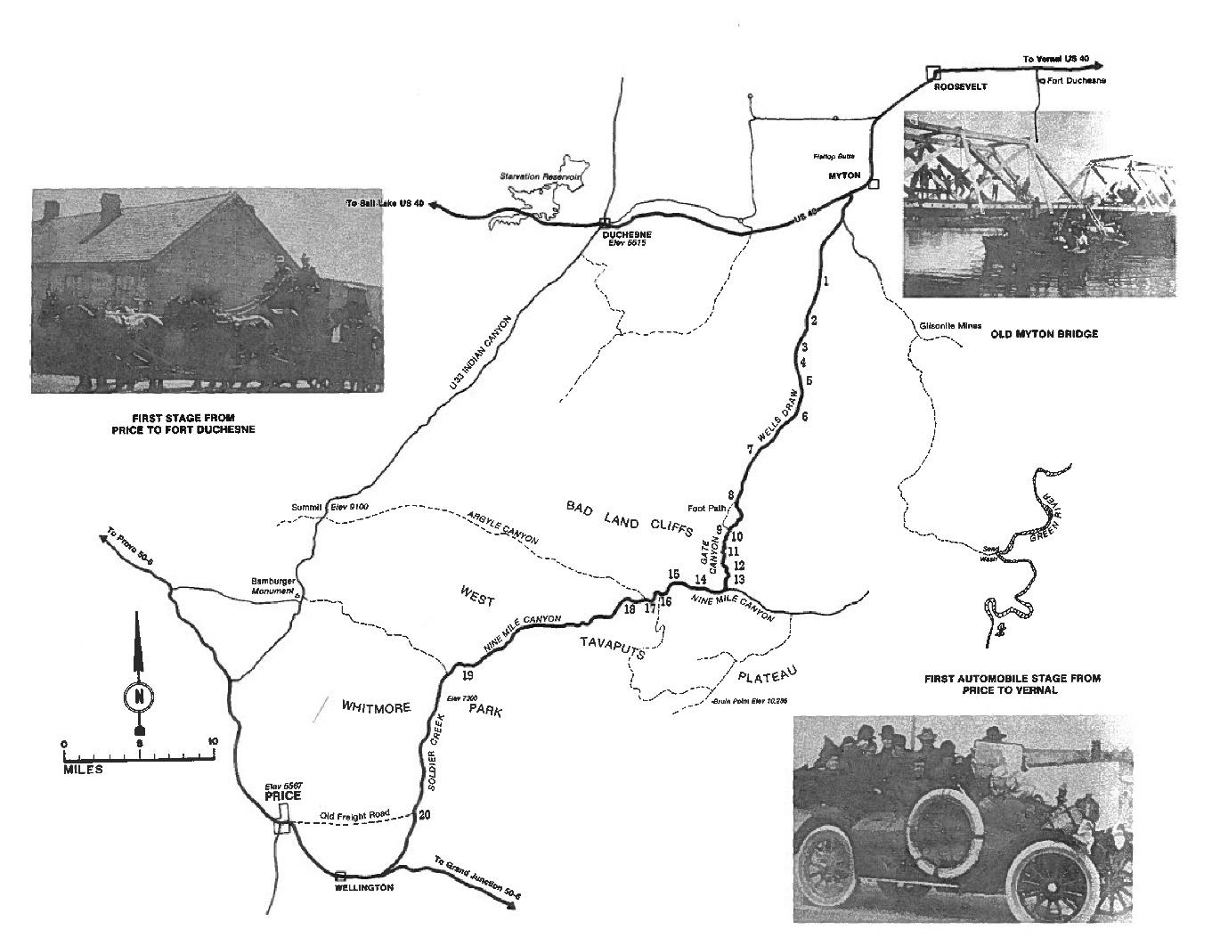
The largest rivers that flow through Duchesne County include the Strawberry, Duchesne, Whiterocks and Uintah rivers. These rivers generally have lower flows and are not navigable. The Strawberry River below the Starvation Reservoir dam is currently being used as a day trip float where users float to the state park entrance road (Approximately 2 miles). beyond this point the surface ownership switches to tribal where navigating the river would be considered a trespass. The Green River does not flow through Duchesne County, but the Sand Wash (Desolation Canyon) Boat Launch is accessed through Duchesne County. The Green River carries river rafters through Desolation Canyon on both commercial and private trips. This area of the river is permitted and has a system in place to manage river running permits. Beyond rivers, paddle trail opportunities exist at Starvation Reservoir to take users to the islands and bridges at the reservoir. Other opportunities may also exist for paddle trails at the higher mountain lakes such as Moon Lake and the Upper Stillwater Reservoir, but have not been pushed or promoted by the forest service or adjacent resorts and they did not come up in any public meetings.