Aerial Location Map
S. Romy St. & E. Indiana Ave. Corridor
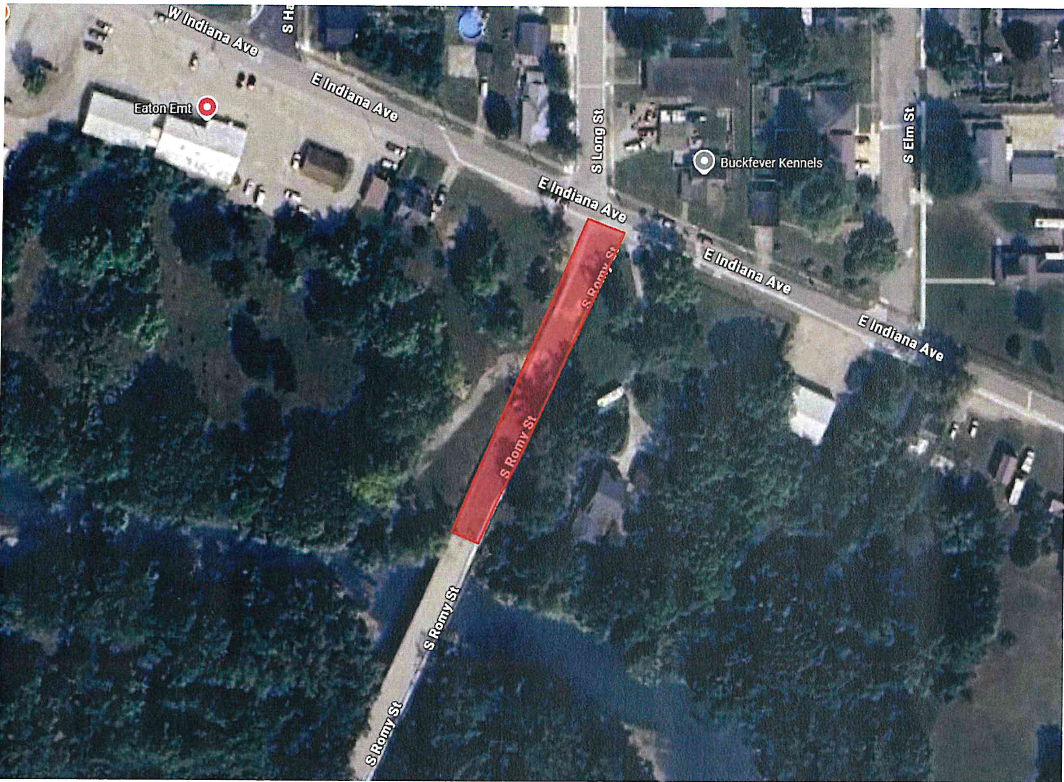
Map Overview
Highlighted Area: S. Romy St. Segment
Identified Landmarks & Streets:
- S Romy St
- E Indiana Ave
- W Indiana Ave
- S Long St
- S Elm St
- Eaton EMT
- Buckfever Kennels