Aerial Map: Crannell Drive Corridor
Satellite imagery overlay detailing road networks, intersections, and highlighted roadway section
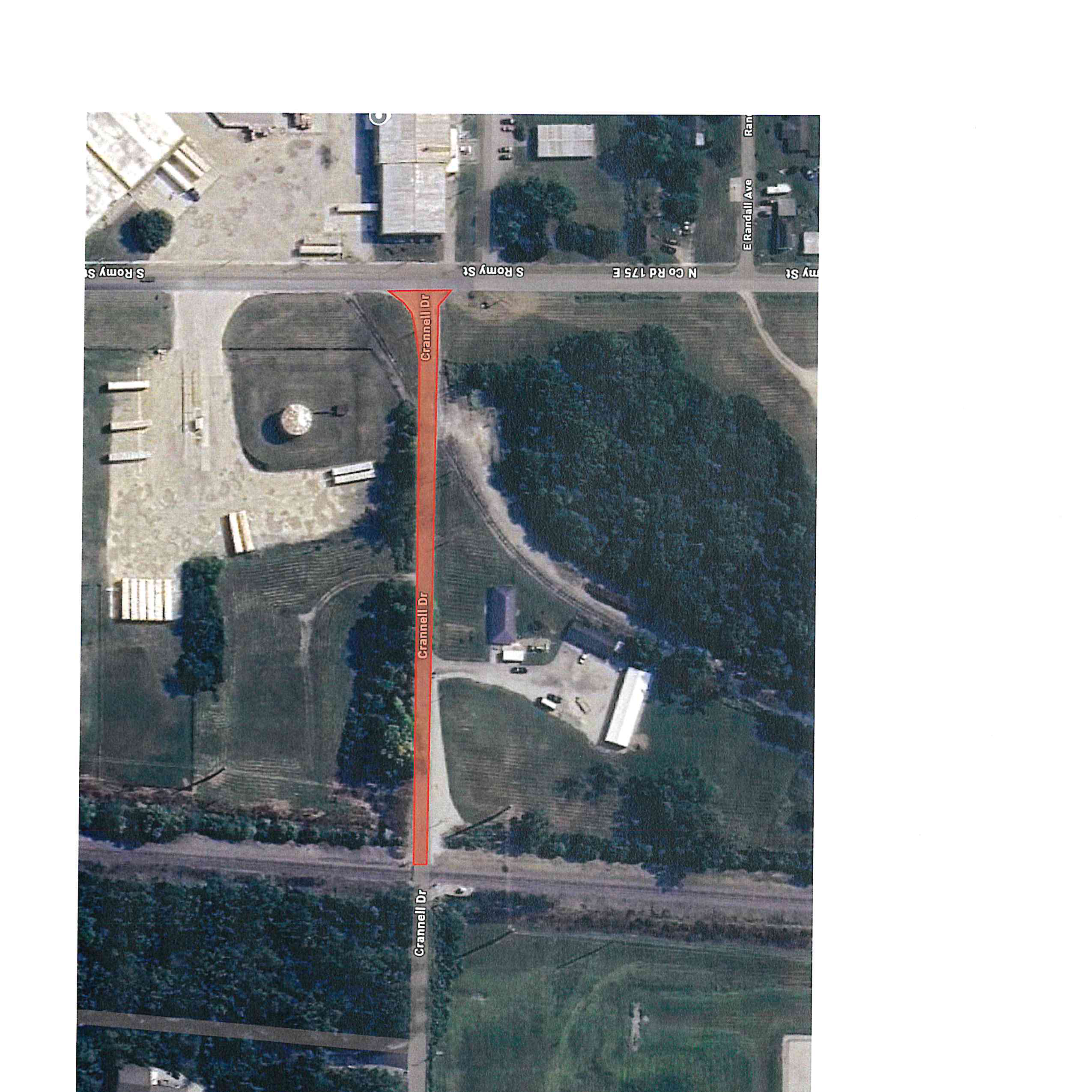
Highlighted Segment
- Roadway: Crannell Dr
- Marker: Red directional arrow heading east
- Rail Intersection: East-west railway line crossing
Key Roadways & Intersections
- S Stringtown Rd: Western boundary street
- W Crannell Rd: Western approach segment
- S Romy St / N Co Rd 175 E: Eastern intersection
- E Randall Ave: Southeastern connecting road