Figure 3: Existing Land-Use
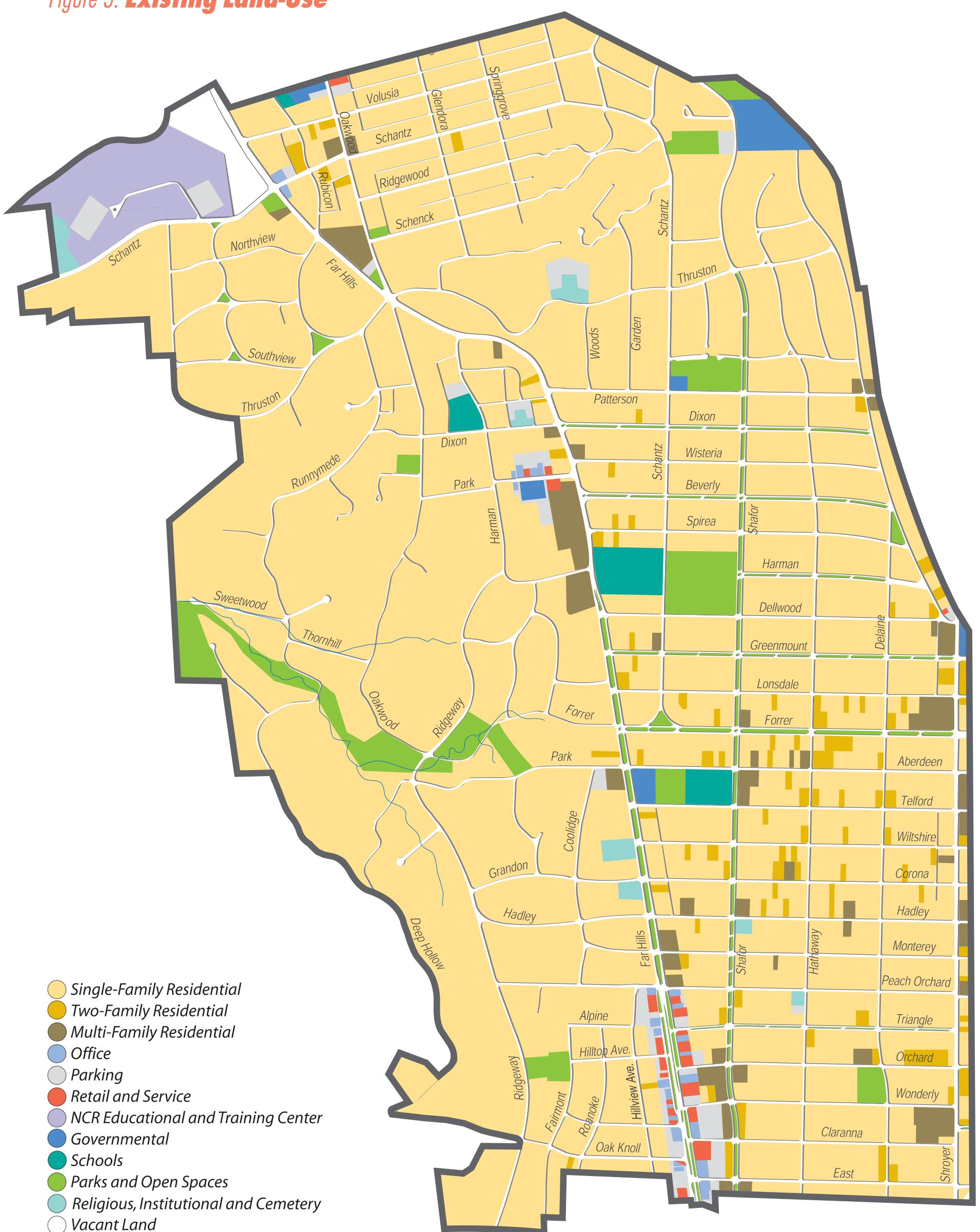
Interactive map image: activate the image to inspect the full-resolution map and its street labels. The map legend is also provided as readable HTML below.
Map description and land-use legend
Figure 3 shows existing land use in the City of Oakwood, Ohio. The full-resolution image contains the map boundary, street labels, colored areas, and the printed legend. The legend categories are reproduced below as text so they remain available without relying on the raster lettering.
- Single-Family Residential
- Two-Family Residential
- Multi-Family Residential
- Office
- Parking
- Retail and Service
- NCR Educational and Training Center
- Governmental
- Schools
- Parks and Open Spaces
- Religious, Institutional and Cemetery
- Vacant Land