




Map description and access
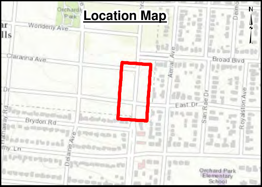
The map is presented as a responsive, zoomable aerial crash diagram. It includes the street geometry, property labels, crash symbols, location inset, north arrow, and accident-count information visible in the source diagram.